Don’t Overlook a Site Walkover Survey
30th August 2020
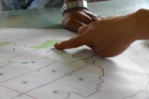
Physically visiting a site, walking the area and recording what is there should be routine practice. In fact, we consider this a vital part of the preliminary and planning phases. Whether conducting a desk study or scoping site works, a site walkover survey gives invaluable insight into your project area. Relying on desk-based information alone without a walkover should be avoided at all costs.
What is a Site Walkover Survey?
 A site walkover survey, often referred to as a reconnaissance survey, is part of industry statue within related geotechnical standards. As good practice, it must be undertaken.
Simply put, a site walkover survey involves visiting a project site and recording the various features that occupy the area. An experienced engineer will also look further afield to record land-use and features outside of your site boundary to establish how external features may influence your site.
What Information Should Be Recorded:
A geoenvironmental engineer will record a number of features: As a minimum these will include:
- Points of safe access and egress for scoping future works and bringing appropriate plant to site
- A record of all visible structures (type, nature, condition). If a structure is showing signs of distress, such as cracking and subsidence, this may give warning signs about the ground
- A record of vegetation cover. Denoting existing plant coverage to establish how this may impact the new development. Established trees may require protection, or may influence new building foundations. Invasive weeds, such as Japanese Knotweed may be present and should be identified during the walkover
- Any visible signs of ground contamination. Plants/vegetation in distress or discolouration is a telltale sign of potential contamination in the ground. Contamination may be obvious through materials present at the surface, such as ash, asbestos, evidence of oil spills etc.
- If your site lies on a coal field, the engineer should be looking for potential signs of subsidence. Old and sometimes unrecorded mine shafts may be present, and the slightest depression in the ground may be a key indicator
- A record of any rock outcrops onsite or in the immediate area will be inspected. This informs later reporting and may give clues to the ground conditions below your site
- A record of what occupies land outside of your site. Do industrial activities, landfilling etc have the potential to impact your build?
- The engineer should take note of all visible utilities across the site. Whether overhead power cables, to obvious inspection chambers in the ground. This information should be correlated with available statutory service records
 Prior to attending site to conduct the site walkover survey, the geoenvironmental engineer should assess historical mapping. This will assist in identifying features/structures present onsite. If old structures are no longer present, it also gives the engineer sight that buried/relict features may be present, and these can be targeted during the intrusive investigation stage of the project.
Processing Walkover Information

Whether conducting a Preliminary Risk Assessment, or preparing future intrusive site investigation works, the walkover process offers invaluable information. Knowing what plant to bring to site, what features to target and data requirements for site works can only be truly understood through physically visiting site. The walkover should be assessed along with desk-based information to ensure a programme of investigation works is appropriate and right for your development requirements.